Subjects
Grades
To access the other concept sheets in the Tools in Geography unit, consult the See Also section.
Cardinal points are landmarks that allow us to situate ourselves geographically. Among other things, they are used to determine a position on a map. The four main cardinal points are:
In addition to the four main cardinal points, there are also four intermediate directions. They are called intercardinal because they are found between each of the main cardinal points. The intercardinal points are the following:
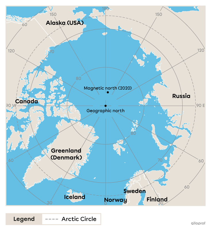
True north is where the Earth's axis of rotation crosses its surface. It's always in the same place, right in the middle of the Arctic Ocean, more than 720 km north of Ellesmere Island, which is the northernmost island of Nunavut.
The movements of certain metals in the Earth's core generate a magnetic field around it. In other words, the Earth acts like a gigantic magnet, with a North Pole and a South Pole. The needle of a compass, which is a very light magnet, is attracted to the Earth's North Pole, which we call magnetic north.
This location is not the same as geographic north. This is because magnetic north is linked to the movement of metals in the Earth's core, while true north is linked to the Earth's axis of rotation.
Due to movements in the Earth's core, magnetic north is constantly shifting. Since the end of the 19th century, it's inevitably been heading for Siberia. Whereas in 1990 it was moving at a speed of about 15 km/year, since 2005 it has been moving at over 55 km/year [1].
The compass is the instrument used to find your bearings in relation to the various points of the compass. It's a dial with a magnetized needle pointing to magnetic north.
The compass was used and perfected by European explorers in the 15th and 16th centuries to facilitate navigation at sea. However, it was first developed in China in the 5th century.
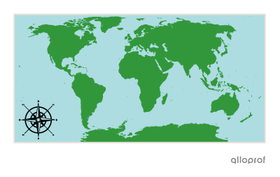
On a map, the compass rose indicates the four cardinal points and sometimes the four intermediate cardinal points.

Note: English image coming soon.
The compass rose appears on maps to indicate the location of the cardinal points.
Note: English image coming soon.
Note: English image coming soon.
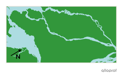
Sometimes there is no compass rose on a map. In these cases, north is always at the top.